
A new exhibition premiered today at the Los Angeles headquarters of the Center for Land Use Interpretation, an enigmatic research institution “dedicated to the increase and diffusion of information about how the nation’s lands are apportioned, utilized, and perceived” (from CLUI’s website). The show maps the three-dimensional manifestation of the linear border between the United States and Canada.

From the exhibition press release:
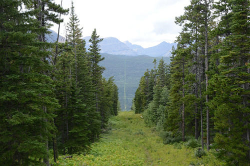
The border between Canada and the United States is a space that reflects the relationship between these two countries. As a cartographic construct, the boundary has no thickness, yet in its collision with the landscape, it takes physical form and dimension. This exhibit travels the 3,500 mile long border across the middle of the continent, from east to west, focused on the structures that the line encounters, and creates.

